
Berkas:India Uttar Pradesh location map.svg

Berkas asli (Berkas SGV, nominal 1.006 x 981 piksel, damango berkas:776 KB)
Limbu'o
| Deskripsi |
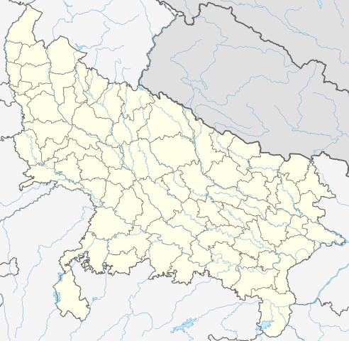
Quadratische Plattkarte, N-S-Streckung 112 %. Geographische Begrenzung der Karte:
Equirectangular projection, N/S stretching 112 %. Geographic limits of the map:
|
|
| Tanggal | ||
| Bungo |
Ilomata lo hihilawo, using
|
|
| Ta ohu'uwo | NordNordWest | |
| Ijini (Popohunawa ulangi berkas botiye) |
Berkas ini dilisensikan di bawah lisensi Creative Commons Atribusi-Berbagi Serupa 3.0 Jerman.
Yi'o mowali mohutu woloolo u otohilamu, dabo jamowali mopolele ta longohi lisensi akoro wolemu meyalo u pilohutumu.
 Berkas ini dilisensikan di bawah lisensi Creative Commons Atribusi-Berbagi Serupa 3.0 Jerman.
Yi'o mowali mohutu woloolo u otohilamu, dabo jamowali mopolele ta longohi lisensi akoro wolemu meyalo u pilohutumu.
|


|
This map has been made or improved in the German Kartenwerkstatt (Map Lab). You can propose maps to improve as well.
|
Riwāyati lo berkas
Klik to tanggal/wakutu momilohe berkas to saa'ati botiye.
| Tanggal/Wakutu | Gambari kiki'o | Dimensi | Ta ohu'uwo | Lo'iya | |
|---|---|---|---|---|---|
| baharu | 1 Mei 2023 14.40 | | 1.006 × 981 (776 KB) | C1MM | c borders |
| 5 Januari 2022 12.44 |  | 1.066 × 927 (777 KB) | C1MM | Corrected rivers and dist boundaries | |
| 13 Pebruari 2021 06.54 |  | 909 × 886 (262 KB) | C1MM | Added Chhattisgarh | |
| 8 Januari 2021 08.41 |  | 909 × 886 (261 KB) | C1MM | Added Amethi district | |
| 23 April 2020 05.29 |  | 909 × 886 (249 KB) | NordNordWest | Reverted to version as of 19:51, 9 October 2012 (UTC); no need to change colours | |
| 23 April 2020 05.00 |  | 909 × 886 (292 KB) | C1MM | Fixed rivers | |
| 23 April 2020 04.51 |  | 909 × 886 (290 KB) | C1MM | Fixed colors and made rivers along borders | |
| 10 Oktober 2012 03.51 |  | 909 × 886 (249 KB) | NordNordWest | =={{int:filedesc}}== {{Information |Description= {{de|Positionskarte von Uttar Pradesh, Indien}} Quadratische Plattkarte, N-S-Streckung 112 %. Geographische Begrenzung der Karte: * N: 30.5° N * S: 23.8° N * W: 77.... |
Berkas u pilopohuna
Halaman botiya lopohuna berkas:
Pilopohuna berkas global
Wiki uweewo hemomake berkas botiya
- Pilopohuna to ar.wikipedia.org
- Pilopohuna to as.wikipedia.org
- Pilopohuna to awa.wikipedia.org
- Pilopohuna to azb.wikipedia.org
- اتاوه
- کینتور
- علیپورا
- فولپور
- فولی (هیندوستان)
- ففنا (هیندوستان)
- فارندا
- سارسای ناوار
- ساروخیپورا
- ساراوان, جاونپور
- ساراسارا, یوتار پرادش
- ساراییا بور
- سارایبیرو
- مداوارا کالا
- سانخنی
- ماوجامپور
- ماسکانوا
- سانای, بوداون
- سامرر (هیندوستان)
- کالاند, ایندیا
- مارتین پوروا
- سامبالهرا
- کاکورا
- سالارپور, بوداون
- کایتورا, جاونپور
- ساییان, آقرا
- ساینتال, یوتار پرادش
- سایفای
- کاقارول
- سایدناقار
- ساهاجانپور
- هالاور
- سافدارقانج
- سادپور, یوتار پرادش
- روپایدیها
- رابارلی
- کادار چووک
Bilohi ngohuntuwa ta lopohuna global lo berkas botiye.